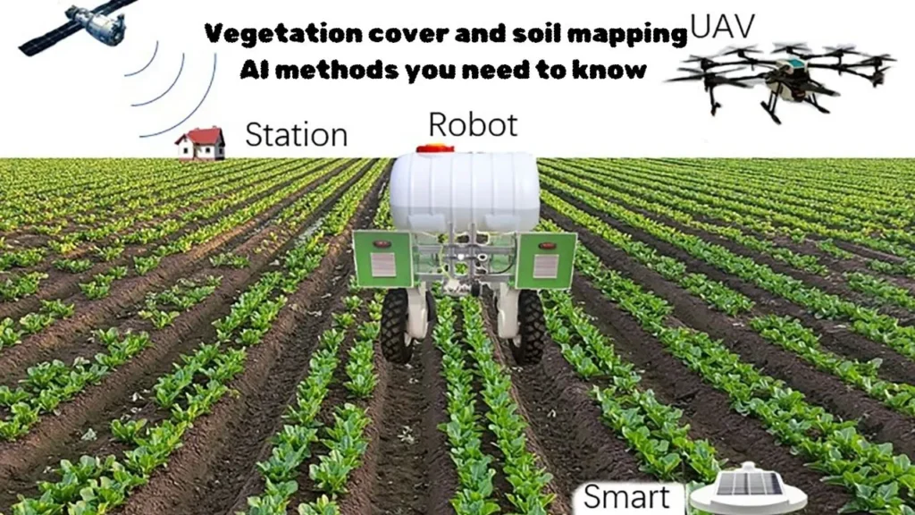
Artificial intelligence is now playing a major role in vegetation and soil mapping. It not only understands information faster by reading data from satellites and drones, but also makes the results more accurate. Modern methods automatically capture elements such as the surface, color and texture of the ground and add them to the maps.
In soil analysis, AI combines various factors such as slope, vegetation condition and soil chemistry to make clear predictions. This helps farmers and experts better identify soil problems, erosion and productivity, making it easier to make better decisions.
What Is Vegetation Cover and Soil Mapping?
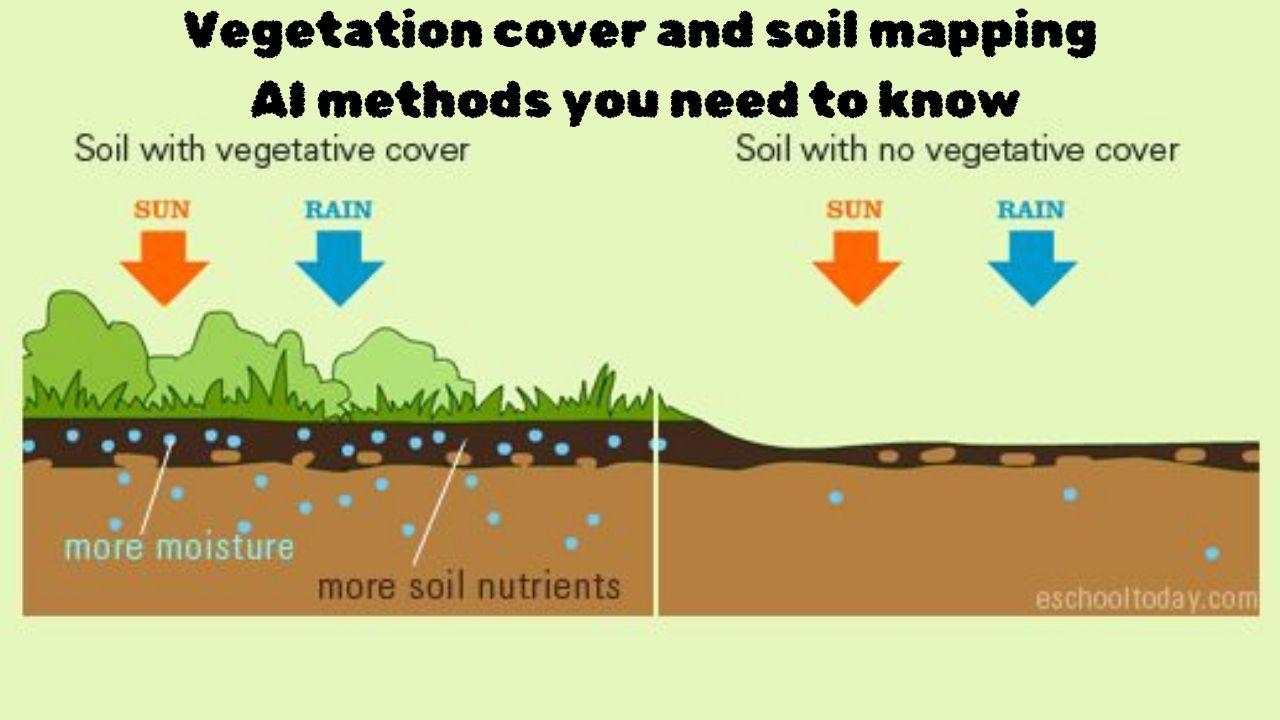
Vegetation mapping is a way to understand the types of vegetation present in an area and their distribution, while soil mapping shows the location, structure and properties of different soils. Both are of great importance for better land management because grasses and trees protect the soil from erosion and are strongly affected by weather and land slope. These maps are usually prepared with the help of satellite images and modern systems such as GIS.
Why AI Is a Game-Changer in Vegetation Cover and Soil Mapping
Challenges of Traditional Mapping Methods
Traditional mapping methods come with several limitations that make it hard to keep information accurate and up to date. As landscapes change and data needs grow, these older techniques often fail to capture the full picture.
Key Challenges:
- Information becomes outdated quickly
- No access to real-time updates
- Simplifying complex details can lead to errors
- Hard to represent 3D terrain on a flat map
- Symbols and map conventions can confuse users
- Navigating dense or complex areas becomes difficult
- Limited data sharing between institutions reduces accuracy
Advantages of AI-Based Methods
Artificial intelligence-based methods make mapping faster, more accurate, and far more efficient. These systems analyze vast amounts of satellite imagery, drone data, and sensor information in a matter of seconds, providing clear and reliable results. AI can even detect subtle changes that humans often miss, helping experts make informed decisions about soil conditions, plant health, and land use.
Top AI Techniques for Vegetation Cover and Soil Mapping
AI offers several powerful techniques that help create accurate vegetation and soil maps. These methods make it easier to analyze large datasets and uncover patterns that traditional tools often miss.
Top AI Techniques:
- Machine Learning Algorithms – Used for classifying vegetation types and predicting soil properties
- Deep Learning Approaches – Helpful for detailed image analysis and feature extraction
- Remote Sensing and AI Integration – Combines satellite or drone data with AI for better accuracy
- GIS and AI for Precision Mapping – Improves land assessment by merging spatial data with intelligent models
Real-World Applications of AI in Vegetation and Soil Mapping
AI is now being used in many practical ways to better understand land, plants, and soil. These applications help experts make smarter decisions about farming, environment, cities, and disaster response.
Real-World Applications of AI in Vegetation and Soil Mapping:
- Agriculture and Crop Management: AI helps monitor crop health, soil moisture, and nutrient levels to improve yields.
- Environmental Monitoring: It tracks changes in vegetation, forests, and ecosystems to identify risks early.
- Urban Planning and Land Use: AI supports planners in managing green spaces, soil quality, and sustainable development.
- Disaster Management: It predicts areas at risk of floods, landslides, or wildfires using detailed land and soil data.
Tools and Software for AI-Based Vegetation Cover and Soil Mapping
Modern AI-based tools and software help to understand soil and vegetation over large areas quickly and accurately. These platforms combine satellite data and machine learning to create a clear map of the state of the earth.
Key tools and platforms:
- Google Earth Engine (GEE): Large collection of satellite images and fast analysis through machine learning
- Sentinel Hub: A useful platform for easily acquiring and processing data from Sentinel missions
- FlyPix AI / Descartes Platform: AI-based tools for understanding the state of soil and vegetation without coding
- ArcGIS Pro: Professional software that analyzes soil information from satellite images with AI
- eCognition: Facilitates better mapping by dividing high-resolution images into segments
- ENVI: Powerful analytical features for multispectral and hyperspectral images
- QGIS: Free and open source platform that provides plugins for vegetation and land classification
Conclusion
Vegetation Cover and Soil Mapping AI Methods are transforming the way we understand and manage land. By combining machine learning, deep learning, and remote sensing data, these methods provide faster, more accurate, and actionable insights than traditional techniques.
From agriculture and environmental monitoring to urban planning and disaster management, AI-powered mapping tools are helping experts make informed decisions. Embracing these advanced methods ensures better soil management, healthier vegetation, and sustainable land use for the future.